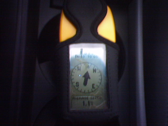
I've now had my Garmin eTrex for a few weeks. And while I've yet to use
it for anything too serious, I've started forming some opinions about
it. And as I do on The Blog, I thought I would share.
First, I put the Garmin on my Amazon wishlist knowing full well it was
the most basic model. And it certainly has lived up to that. It's no
frills all the way. The nice thing though is that what it claims to do,
it does well.
Physically, the device is the most solid of any gadget I've ever owned.
It claims to be waterproof, and I believe it.
In terms of functionality, the core GPS capability, plus some common
functions are provided. You can store your current location, view your
past "tracks", and route to a location. Of course routing here is a
trivial straight line route between start, end and points inbetween.
You can record most of this data for later review, though the internal
moemory size is pretty tiny. The device seems to work well for
collecting data, but not for storing it long term.
One of the most impressive features is the battery life. After dealing
with Shira's iQue PDA/GPS I'm amazed at how long this device can go on a
set of double AA batteries. They claim battery life is like 22hrs,
compared to much less for the iQue.
The GPS itself seems to pickup the sattelite signal fairly easily.
Though at times it has diasspointed me with losing the signal. I really
don't have enough evidence either way to say if the GPS itself is high
or low quality.
One of the key reasons I wanted the Garmin eTrex was its hacker
friendlyness. And I wasn't diassapointed. There are a handful of
simple linux programs that allow for easy uploading and downloading of
the data. My favorite of which is gpsbabel, which smoothy pulls off
data from the device and can convert it to the standard gpx format.
While getting Linux to talk to the GPS is easy, getting it physically
connected to a box was not as trivial. The standard connector provided
by Garmin is a serial port. In this day and age, a serial port is
considered a 'legacy port' and both laptops I had lying around were
'legacy port free.' As a result I had to plug the device into an older
Linux box. It's pretty remarkable that buying the right cables and
adapters to plug the device into a modern USB based computer probably
cost more than the GPS itself.
The main detractor for the device, by far, is its input capability.
This isn't surprising, considering it has 4 buttons and a very primitive
"operating system." But with that said, I've owned cell phones that
seemed to be just as low powered and yet still managed to give text
completion of some sort or another, while being just as low powered.
In general every input operation calls for scrolling through lists of
letters and numbers, almost always starting at the digit 0. Even
entering longitude and latitude is pretty painful. As I practice more
though, it may get to be less of an issue. The other aspects of the UI,
such as the menus and how you access them are just fine. I do like how
you don't explicitly need to save entered data - it's just stored
automagically.
An additional resource which really ads value to this device is the site
www.gpsvisualizer.com. This site does two key things. First, you can
upload the data pulled off from the device to their server and they will
generate a map (including nice integration with Google maps!).
Secondly, they provide a geocoding facility. This is just a fancy way
of saying that you can enter a postal address and they will tell you a
latitude and longitude for that location. You can then plug these
values into the GPS to allow you to create specific waypoints
corresponding to real world locations.
The gpsvisualizer site is even Sidekick friendly, so I can access the
geocoding from anywhere I have cell signal. If you forgive the poor
input on the GPS, this means that the Garmin and Sidekick make a
powerful combo.
There's one final area of the device to consider - is it useful? I
think the answer is a clear yes. For any outdoors activity (from hiking
to a walk around the neighborhood) the device gives you reliable data in
a seemingly rugged package. For activities such as using it for driving
directions, the device is less useful, but still not useless. While it
won't give you turn by turn directions it will let you know how you are
doing relative to your destination.
In fact, I was really inspired to write this review after the device
helped me take an unusual route to work. I was pretty sure I knew where
I wanted to go, but it was really nice to have a small safety net,
insuring that a wrong turn wouldn't go un-noticed.
I've also heard it suggested that the Garmin would be a good device for
travel. It's durable and the batteries last a long time which is good.
And if you pre-load it with some standard points (the airport, your
hotel, etc.) you can use it as a rough way to keep from getting lost.
Overall, I'm very pleased with the device. It's nice to own a gadget
which puts ruggedness and pure functionality over cheap plastic and
gimmics. I'd say that the Garmin delivers on its promise: it's a cheap
and reliable, yet bare bones entry into the GPS world.
Now, what I need are some adventures where I can put it to work.
-Ben
--
Ben Simon
My blog: http://benjisimon.blogspot.com
Got a software idea? http://i2x.blogspot.com


